Landscape Metric Maps - Analysis by Decade Status (LMM-ADS)
Click on Maps
You will need the free Adobe Reader
to view the "PDF Version" of the
maps contained within the web
pages of the following links.
See EPA's PDF page to learn more.
Study Area Orientation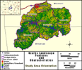 |
Land Area (km²) (LANDAREA)  |
| Percent Urban (PURB)  |
Percent Urban within 120m of Streams (RURB120)  |
| Stream Density (km stream/km²) (STRMDENS) 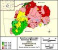 |
Road Density (km road/km²) (RDDENS) 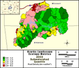 |
| Percent Impervious Surfaces (PCTIARD) 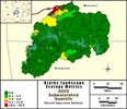 |
Percent Forest (PFOR) 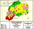 |
| Percent Forest within 120m of Streams (RFOR120) 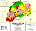 |
Percent Total Agriculture / Grassland (PAGT) 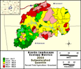 |
| Percent Total Agriculture / Grassland within 120m of Streams (RAGT120) 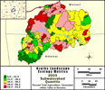 |
Percent Agriculture / Grassland on Slopes greater than 3% (AGTSL3) 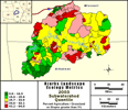 |
| Percent Barren (PBAR) 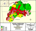 |
Gross Soil Erosion [RUSLE] (kg/ha/yr) (RUSLE_A_KHY) ![Gross Soil Erosion [RUSLE] (kg / ha / yr) (RUSLE_A_KHY) Map](../gif/uwr_lcs_90s_wsh_qt_rusle_a_khy_sm.gif) |
| Net Sediment Delivery [SEDMOD] (kg/ha/yr) (SEDMOD_KHY) ![Net Sediment Delivery [SEDMOD] (kg / ha / yr) (SEDMOD_KHY) Map](../gif/uwr_lcs_90s_wsh_qt_sedmod_khy_sm.gif) |
Rainfall-derived erosivity [R factor] (unitless) (RUSLE_R) ![Rainfall-derived erosivity [R factor] (unitless) (RUSLE_R) Map](../gif/uwr_lcs_90s_wsh_qt_rusle_r_sm.gif) |
| Soil surface erodibility [K factor] (unitless) (RUSLE_k) ![Soil surface erodibility [K factor] (unitless) (RUSLE_k) Map](../gif/uwr_lcs_90s_wsh_qt_rusle_k_sm.gif) |
Roughness coefficient (unitless) (ROUGH) 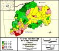 |
The Upper White River study area landscape metric maps provided in this section are based on the status of conditions in the early portion of the 1970s, 1980s, 1990s, and 2000s (see maps and metadata for additional information). Land-cover maps are provided for the dates indicated, and have been produced to specifically address the analysis questions of the stakeholders in the region (i.e., with regard to the potential interactions between surface water-quality and the spatial and temporal distribution of urban and agricultural areas). For this reason, the number of land-cover classes was intentionally kept to a minimum in order to address the specific questions of stakeholders, and to provide maximum land-cover classification accuracy. Initial land-cover validation sampling indicates an overall accuracy of the 2003 land-cover map in excess of 95% (N=73). Water-quality indicator maps in this browser are based upon geospatial statistical analyses of the land-cover data and the water-quality sampling data among the 244 subwatersheds in the study area.
- Overview of Land-Cover Types
- Examples of urban land-cover are urban centers and small rural towns.
- Examples of the agricultural/grassland land-cover are pasture, a row crop field, a golf course, or any other area of herbaceous vegetation.
- Examples of forest land-cover are nature reserves and woodlots.
- Examples of water are streams, rivers, lakes, and ponds.
- Examples of barren land-cover are a gravel pit and a sandy beach.
| *** For additional information on the Upper White River search project or to obtain an electronic copy of the complete datasets (maps) please contact Richard Steele at steele.richard@epa.gov / 702 798.2218 *** |