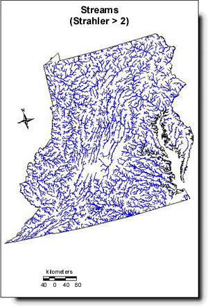
Streams with Strahler > 2

The image to the right represents landscape indicator data obtained from the Mid-Atlantic Landscape Atlas. Links are offered below to associated metadata (.txt) and compressed data set (.tar.gz) files. To download a metadata file, use your browser's "File" "Save As..." option. Compressed data set files are best handled using the GNU "gzip" and Unix "tar" utilities. Windows users and others may find comparable tools available from the software packages page.
Please note that freeware versions of these Windows utilities may not be able to handle some of the larger data sets. In this case, an evaluation copy of a commecial product could be downloaded for use. As an alternative, one may obtain all Mid-Atlantic Landscape data sets on CD-ROM by sending an e-mail with your request to Melissa Hughes at hughes.melissa@epa.gov.
-
Download Data Set (47.4 Mb, tar)
![[logo] US EPA](../gif/logo_epaseal.gif)