Technology Transfer Network / NAAQS
Ozone Implementation
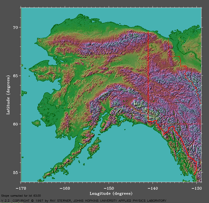
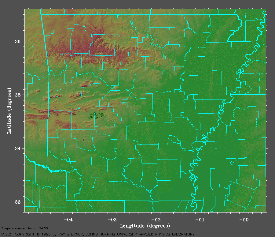
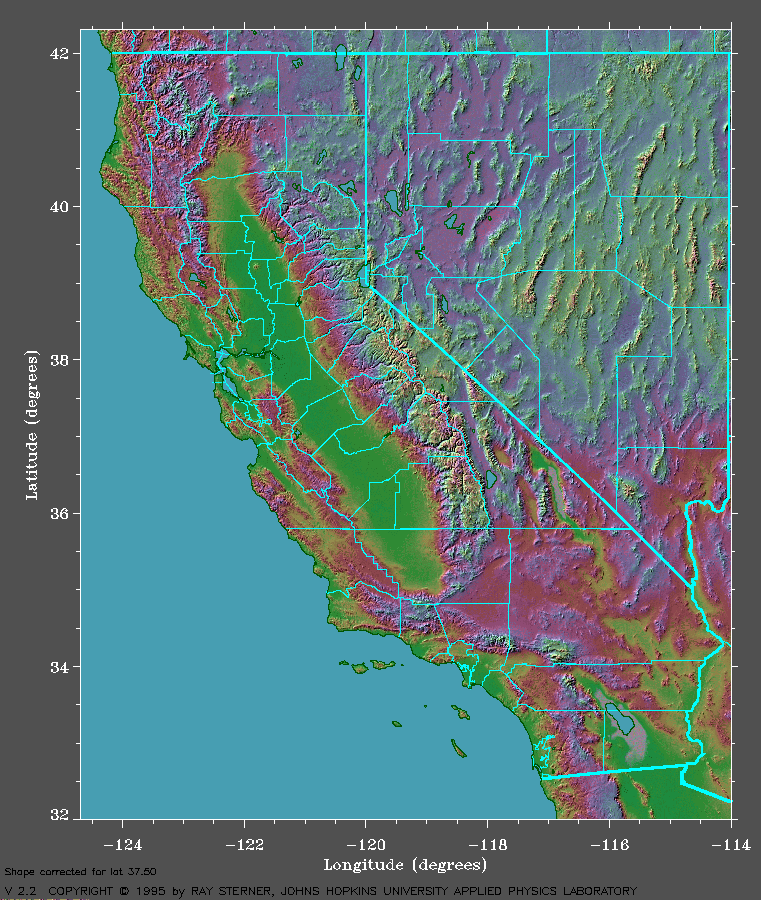
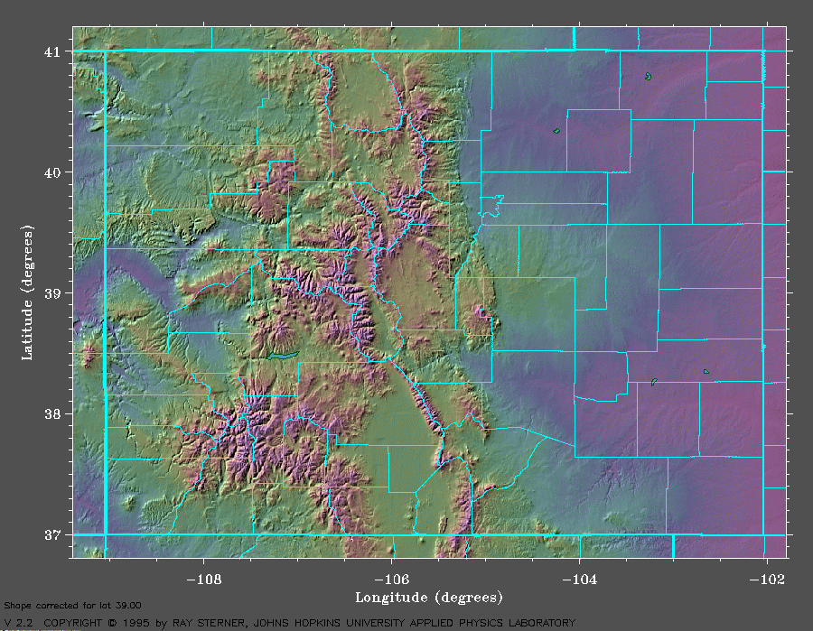
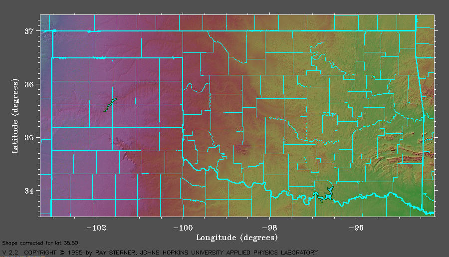
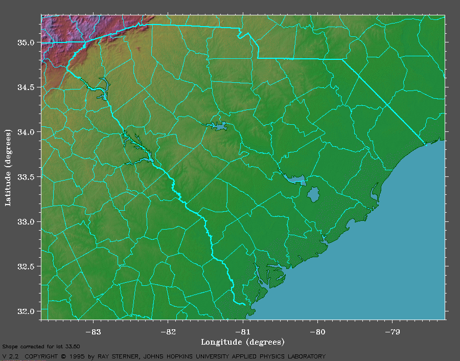
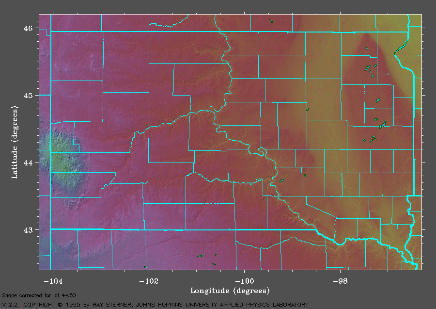
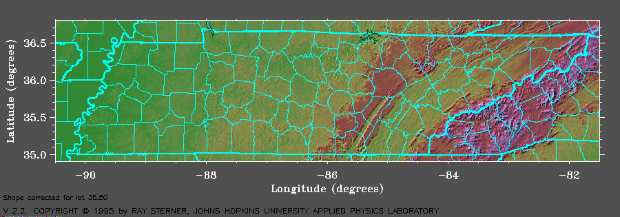
Color-Shaded Relief Maps of the U.S.
|
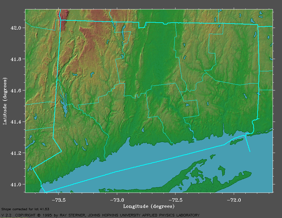
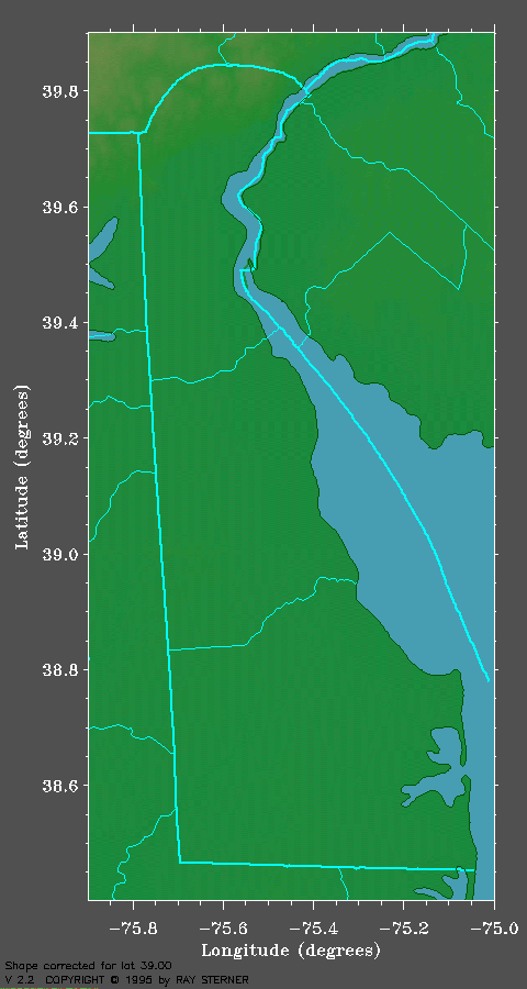
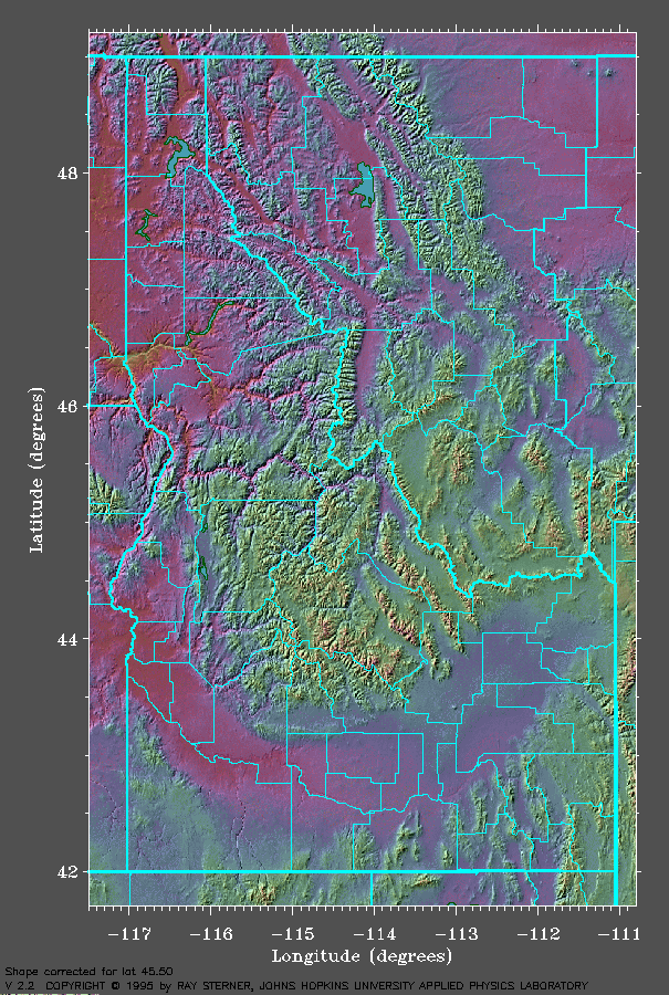
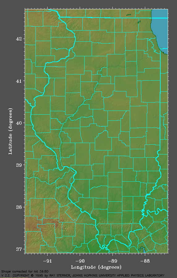
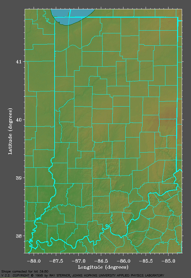
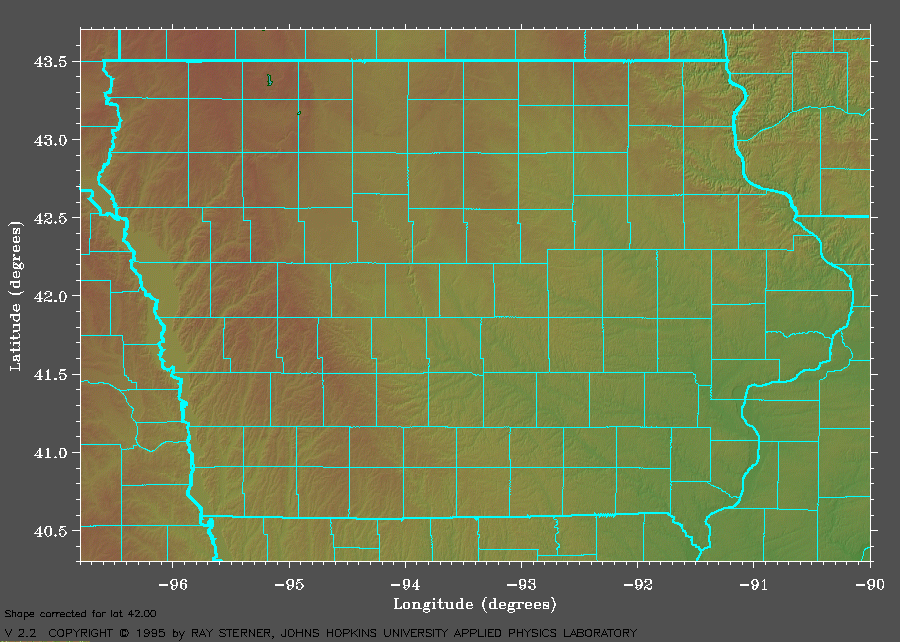
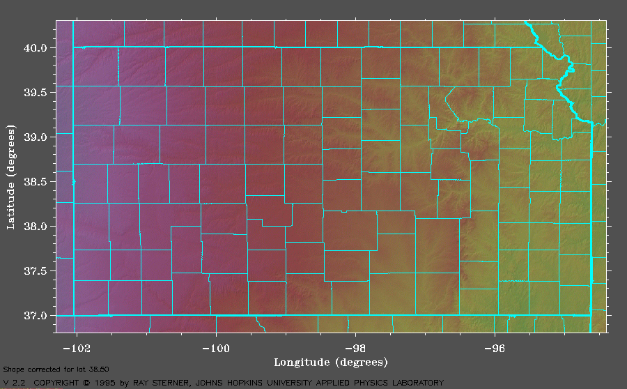
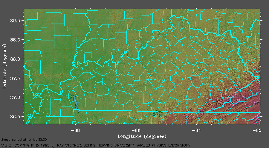
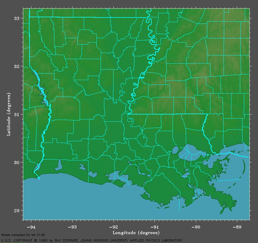
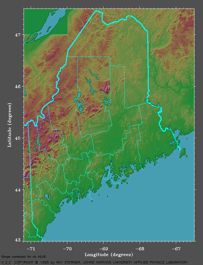
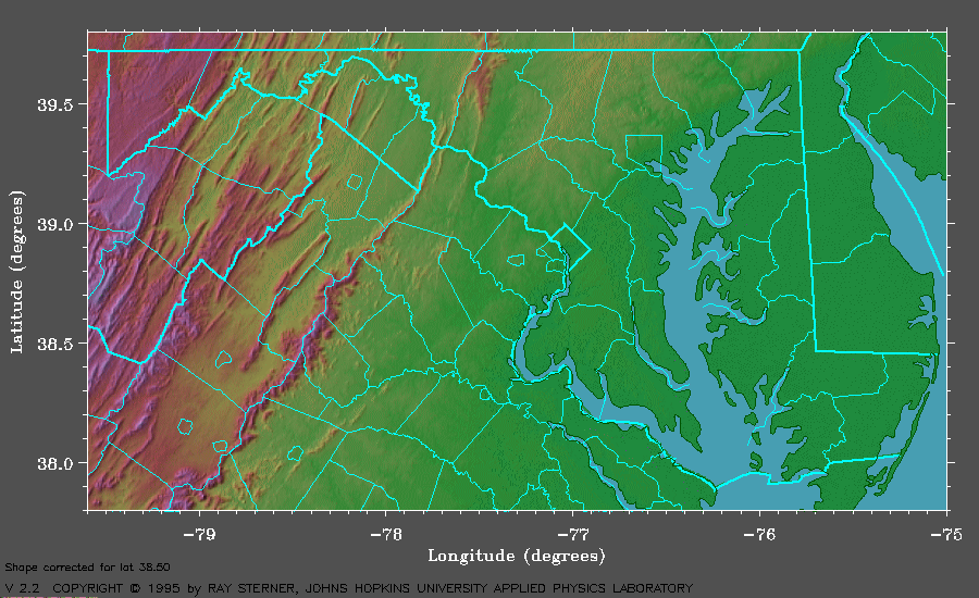
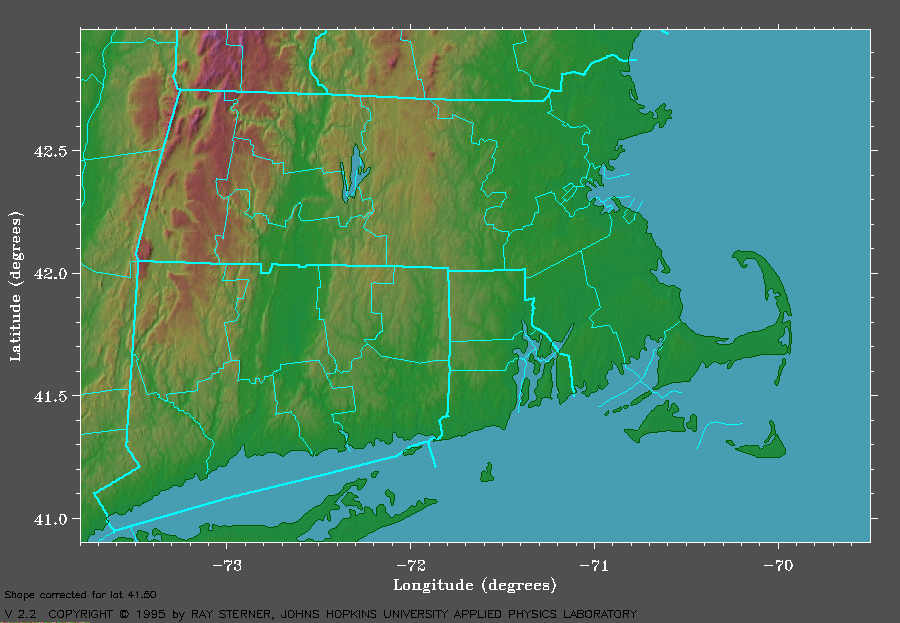
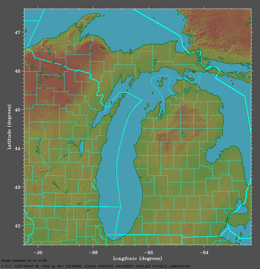
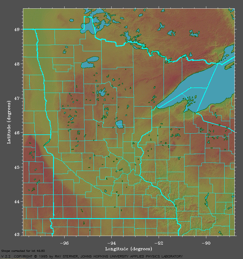
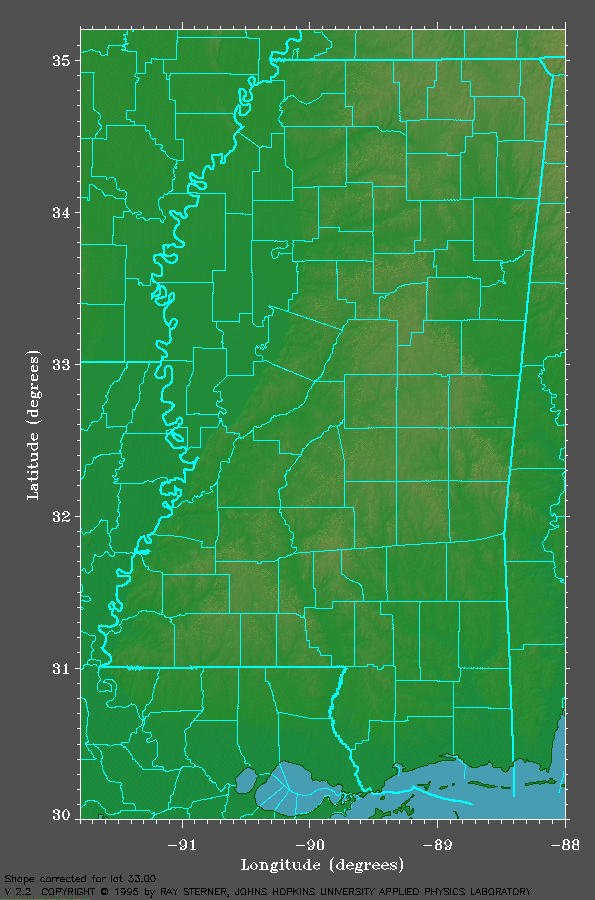
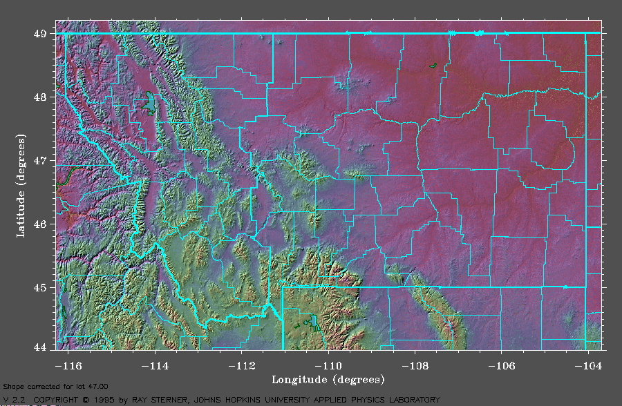
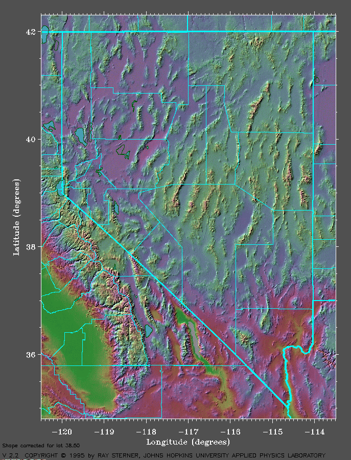
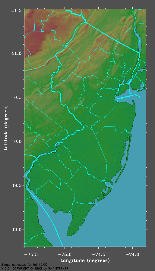
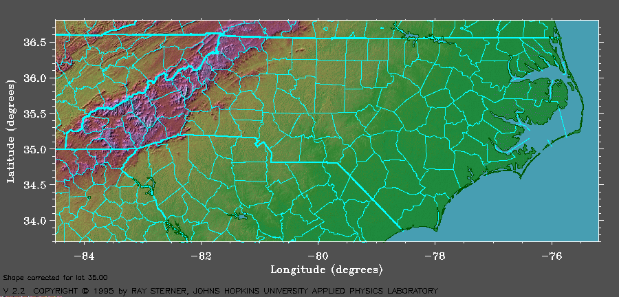
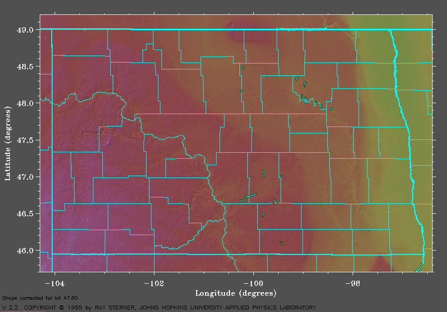
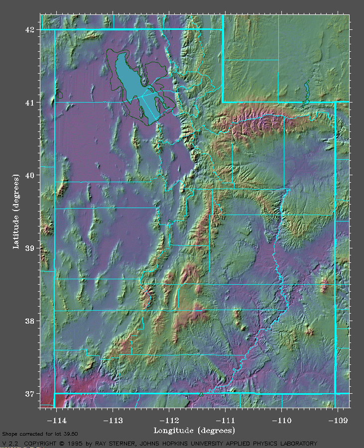
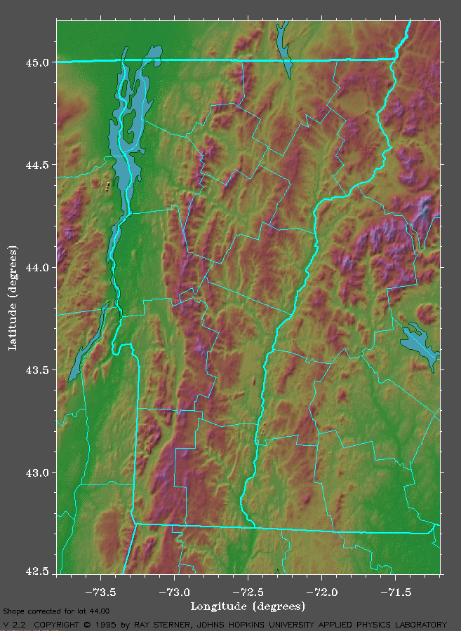
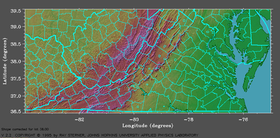
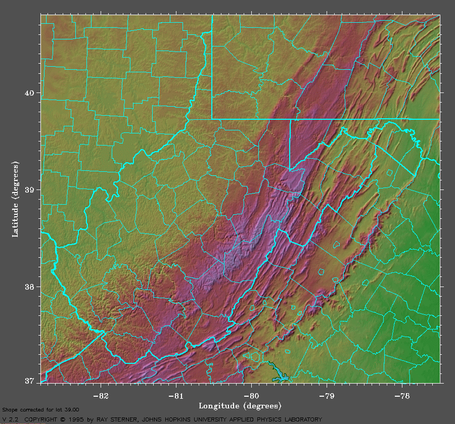
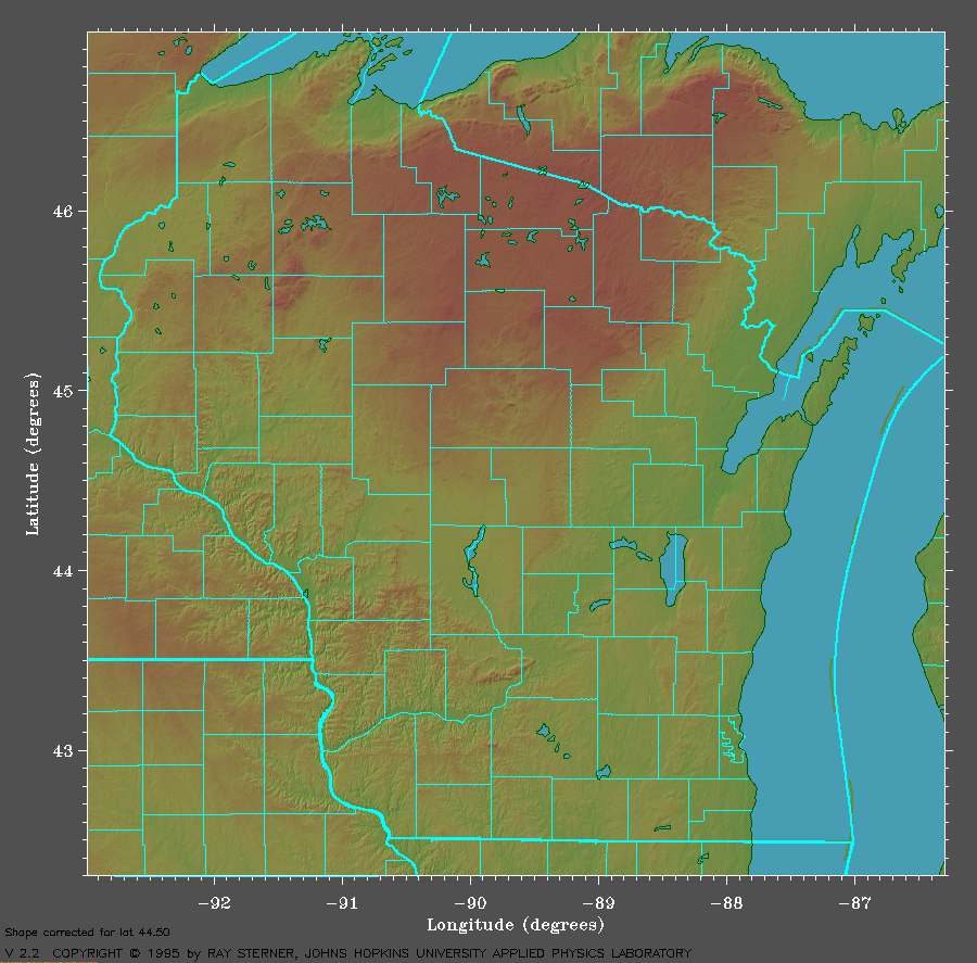
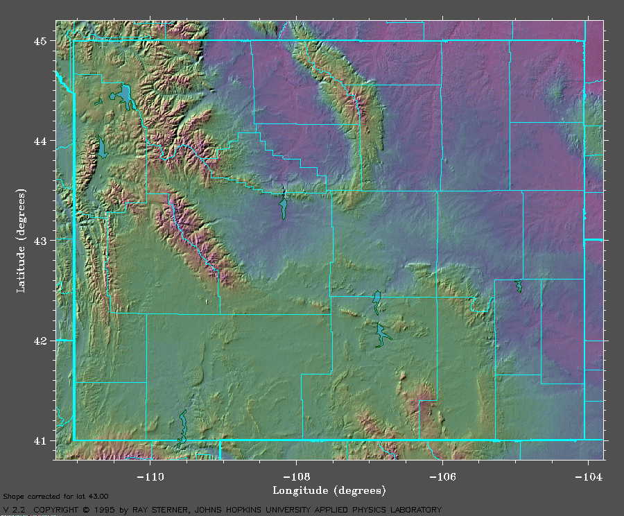
This Web site contains shaded relief maps of each state with county boundaries. The maps are available from Ray Sterner. He has these and other maps of interest on his Web site which is located on The Johns Hopkins University Applied Physics Laboratory Web site. Click here to read about the maps and to see the copyright. Select a State from the list below and your browser will jump you to the map of that State. Alabama, Alaska, Arizona, Arkansas, California, Colorado, Connecticut, Delaware, Florida, Georgia, Hawaii, Idaho, Illinois, Indiana, Iowa, Kansas, Kentucky, Louisiana, Maine, Maryland, Massachusetts, Michigan, Minnesota, Mississippi, Missouri, Montana, Nebraska, Nevada, New Hampshire, New Jersey, New Mexico, New York, North Carolina, North Dakota, Ohio, Oklahoma, Oregon, Pennsylvania, Rhode Island, South Carolina, South Dakota, Tennessee, Texas, Utah, Vermont, Virginia, Washington, West Virginia, Wisconsin, Wyoming |
 Hi Barry,

  I'm on a field test, so must be brief.  Yes, you have my permission to
  use the maps as long as the source is credited as you have done.
  Glad you found them useful.

  Ray Sterner                     sterner@tesla.jhuapl.edu
  The Johns Hopkins University    North latitude 39.16 degrees.
  Applied Physics Laboratory      West longitude 76.90 degrees.
  Laurel, MD 20723-6099
6/8/00