Ecoregion 66 - Blue Ridge, Sample 89
Imagery| September 3, 1973, MSS | |
| August 3, 1979, MSS | |
| May 21, 1981, MSS | |
| July 21,1986, MSS | |
| July 3, 1991, MSS |
Land Cover
| 1973 | |
| 1981 | |
| 1986 | |
| 1992 | |
| 1992, 30M | |
| 2000 | |
| 2000, 30M |
Change Images
| 1973 to 1981 | |
| 1981 to 1986 | |
| 1986 to 1992 | |
| 1992 to 2000 | |
| All Change |
Photos
Click any thumbnail to view a larger image. Click this link to view a table of photo captions for this ecoregion.
 |
 |
 |
 |
 |
 |
 |
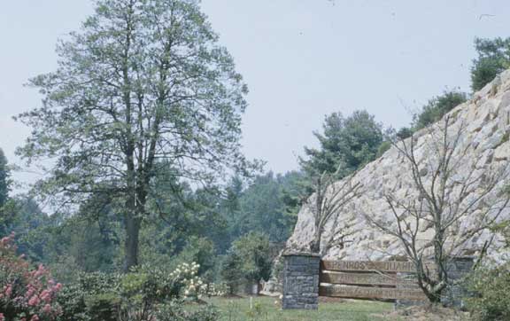
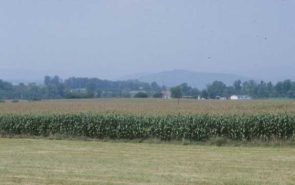
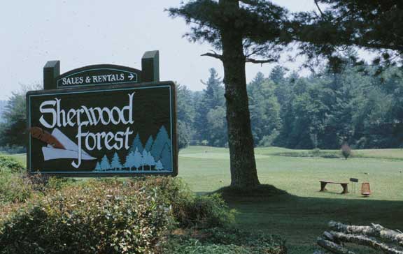
66-89-01 |
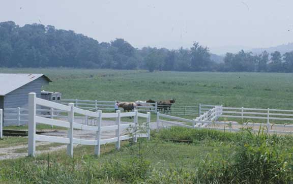
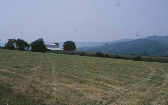
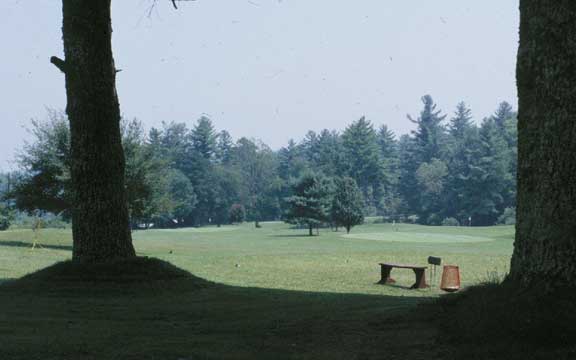
66-89-02 |
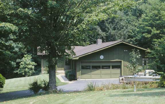
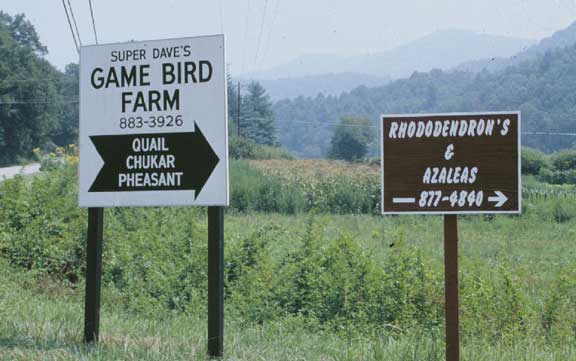
66-89-03 |
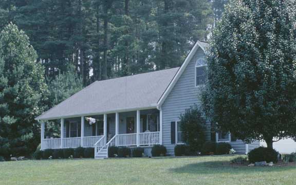
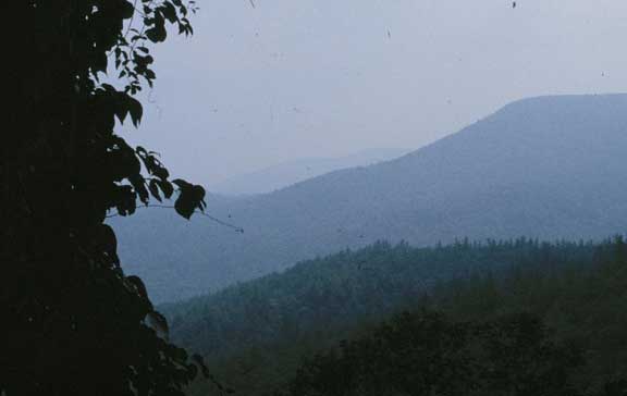
66-89-04 |
66-89-05 |
66-89-06 |
66-89-07 |
 |
 |
 |
 |
 |
||
66-89-08 |
66-89-09 |
66-89-10 |
66-89-11 |
66-89-12 |