Ecoregion 66 - Blue Ridge, Sample 21
Imagery| September 7, 1972/September 2, 1973, (mosaic) MSS | |
| September 7, 1972, MSS Part 2 | |
| September 2, 1973, MSS Part 2 | |
| October 16, 1980, MSS Part | |
| September 23, 1981, MSS Part | |
| September 24, 1981, MSS | |
| September 29, 1985/July 14, 1986, (mosaic) MSS | |
| September 29, 1985, MSS Part | |
| July 14, 1986, MSS Part | |
| October 5, 1987, MSS Part | |
| November 14, 1990/November 3, 1992, (mosaic) TM | |
| September 14, 1991/September 16, 1992, (mosaic) MSS | |
| September 14, 1991, MSS Part | |
| September 16, 1992, MSS Part | |
| October 2, 1992/November 2, 1992, (mosaic) TM | |
| June 10, 2000, ETM | |
| June 10, 2000, PAN |
Land Cover
| 1973 | |
| 1981 | |
| 1985 | |
| 1992, 30M | |
| 1992, 60M | |
| 2000, 30M | |
| 2000, 60M | |
| 1992, MRLC |
Change Images
| 1973 to 1981 | |
| 1981 to 1985 | |
| 1985 to 1992 | |
| 1992 to 2000 |
Photos
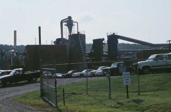
Click any thumbnail to view a larger image. Click this link to view a table of photo captions for this ecoregion.
 |
 |
 |
 |
 |
 |
 |
66-21-06 |
66-21-07 |
66-21-08 |
66-21-09 |
66-21-10 |
66-21-11 |
66-21-12 |
 |
 |
 |
 |
 |
 |
|
66-21-13 |
66-21-14 |
66-21-15 |
66-21-16 |
66-21-17 |
66-21-18 |