Ecoregion 63 - Middle Atlantic Coastal Plain, Sample 225
Imagery| October 26, 1973 - October 13, 1972, MSS | |
| May 1, 1981, MSS | |
| October 12, 1984 - October 18, 1986, MSS | |
| October 18, 1986 - May 17, 1985, MSS | |
| October 18, 1986, MSS | |
| October 16, 1991, MSS | |
| April 20, 1996, TM | |
| January 4, 2001, ETM | |
| January 4, 2001, PAN | |
| October 16, 2000, ETM | |
| October 16, 2000, PAN |
Land Cover
| 1972 | |
| 1981 | |
| 1986 | |
| 1992, MRLC | |
| 1996, 30M | |
| 1996, 60M | |
| 2001, 30M | |
| 2001, 60M |
Change Images
| 1972 to 2001 | |
| 1972 to 1981 | |
| 1981 to 1986 | |
| 1986 to 1996 | |
| 1996 to 2001, 30M | |
| 1996 to 2001, 60M |
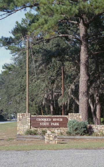
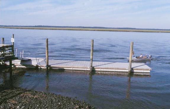
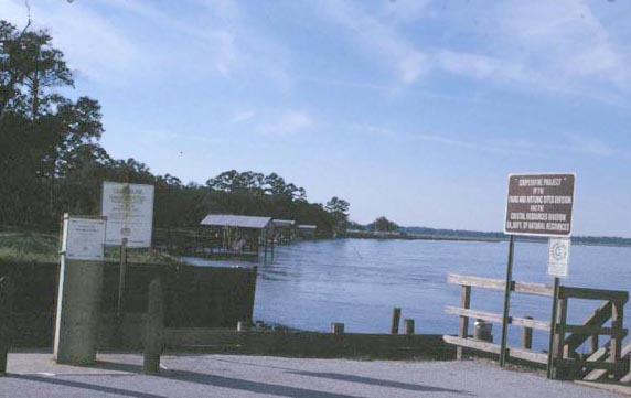
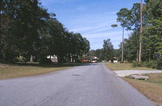
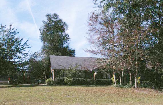
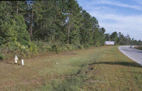
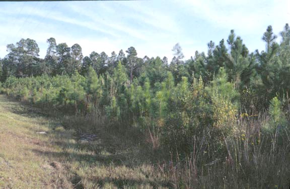
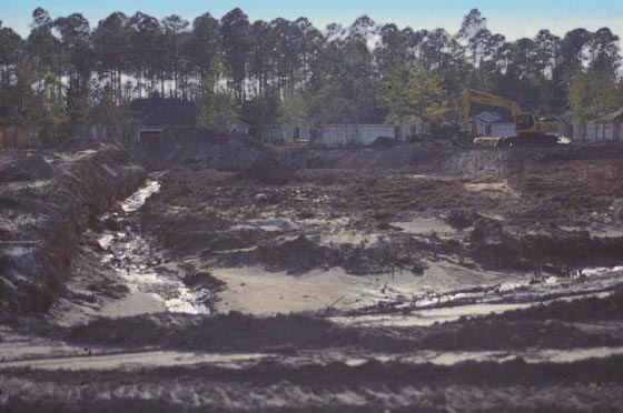
Photos
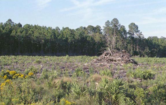
Click any thumbnail to view a larger image. Click this link to view a table of photo captions for this ecoregion.
 |
 |
 |
 |
 |
 |
 |
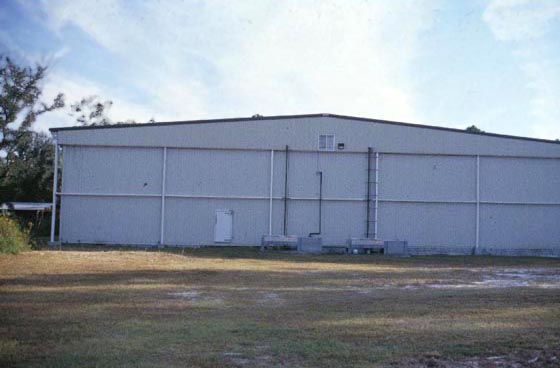
63-225-02 |
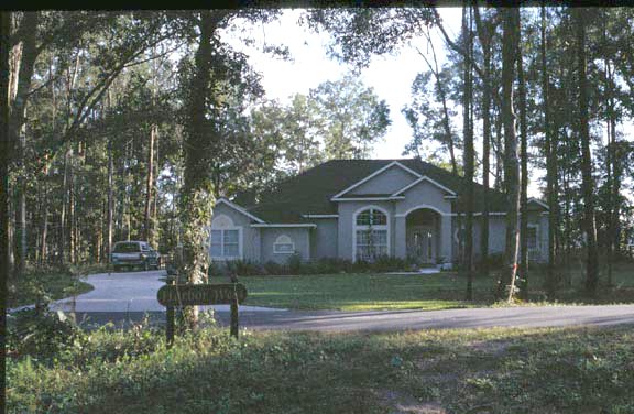
63-225-03 |
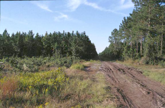
63-225-04 |
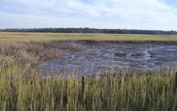
63-225-05 |
63-225-06 |
63-225-07 |
63-225-08 |
 |
 |
 |
 |
 |
 |
 |
63-225-10 |
63-225-11 |
63-225-12 |
63-225-13 |
63-225-14 |
63-225-15 |
63-225-16 |
 |
 |
 |
||||
63-225-17 |
63-225-19 |
63-225-20 |