Ecoregion 43 - Northwestern Great Plains, Sample 1634
Imagery| July 25, 1974, MSS | |
| July 15, 1981, MSS | |
| August 29, 1986, MSS | |
| June 10, 1992, TM | |
| August 13, 1992, MSS | |
| August 25, 1999, ETM |
Land Cover
| 1974 | |
| 1981 | |
| 1986 | |
| 1992, 30M | |
| 1992, 60M | |
| 1992, MRLC | |
| 1999, 30M | |
| 1999, 60M |
Change Images
| 1974 to 1981 | |
| 1981 to 1986 | |
| 1986 to 1992 | |
| 1992 to 1999 | |
| All Change |
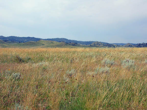
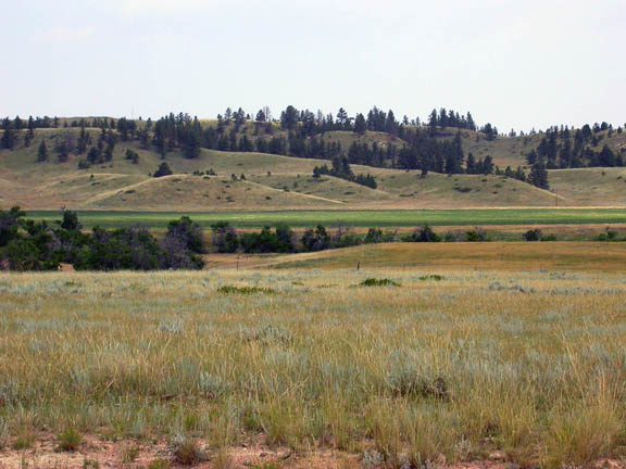
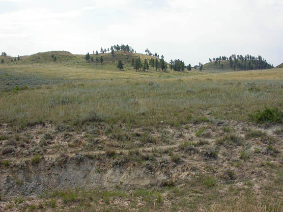
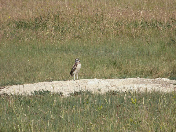
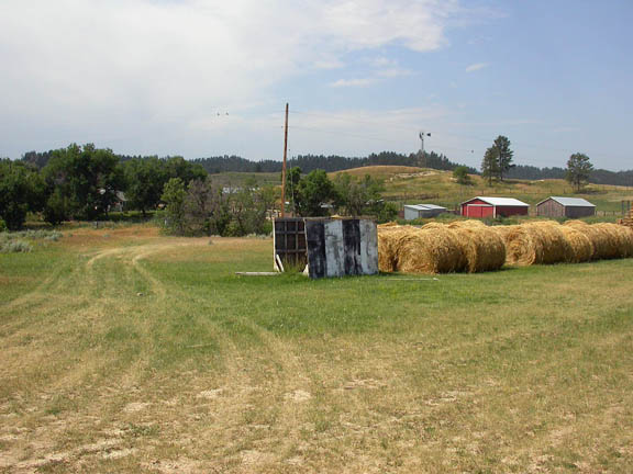
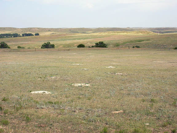
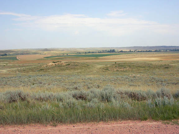
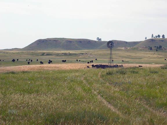
Photos
Click any thumbnail to view a larger image. Click this link to view a table of photo captions for this ecoregion.
 |
 |
 |
 |
 |
 |
 |
43-1634-279 |
43-1634-280 |
43-1634-283 |
43-1634-284 |
43-1634-286 |
43-1634-295 |
43-1634-298 |
 |
 |
 |
||||
43-1634-301 |
43-1634-304 |
43-1634-305 |