Ecoregion 43 - Northwestern Great Plains, Sample 1057
Imagery| August 1, 1973, MSS | |
| August 10, 1975, MSS | |
| September 3, 1979, MSS | |
| August 2, 1986, MSS | |
| July 17, 1992, MSS | |
| September 22, 1993, TM | |
| August 30, 1999, ETM |
Land Cover
| 1973 | |
| 1979 | |
| 1986 | |
| 1992, MRLC | |
| 1993, 30M | |
| 1993, 60M | |
| 1999, 30M | |
| 1999, 60M |
Change Images
| 1973 to 1979 | |
| 1979 to 1986 | |
| 1986 to 1993 | |
| 1993 to 1999 | |
| All Change |
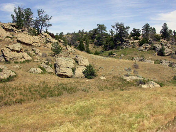
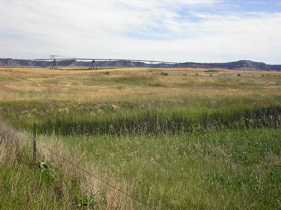
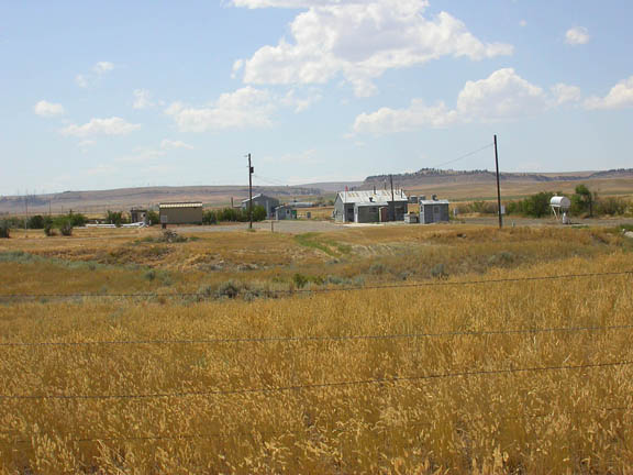
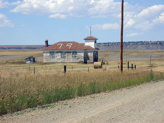
Photos
Click any thumbnail to view a larger image. Click this link to view a table of photo captions for this ecoregion.
 |
 |
 |
 |
 |
 |
 |
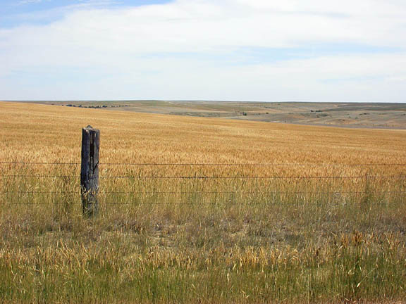
43-1057-240 |
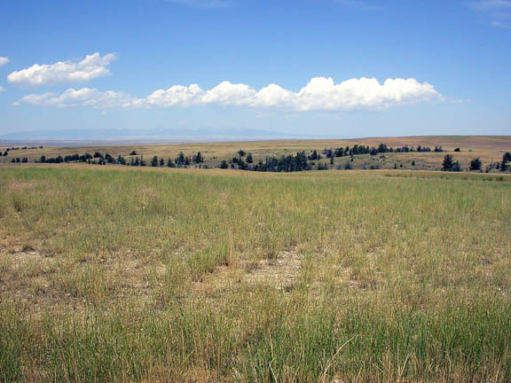
43-1057-241 |
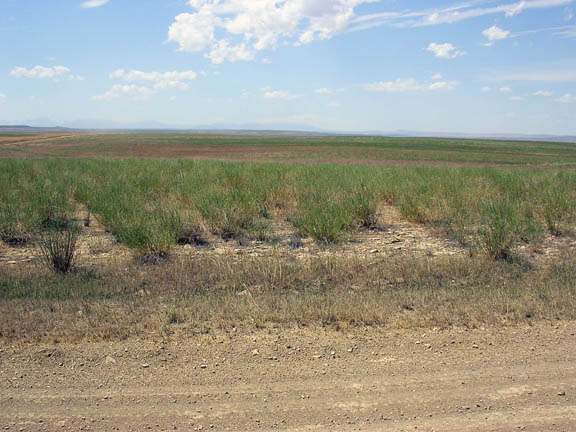
43-1057-244 |
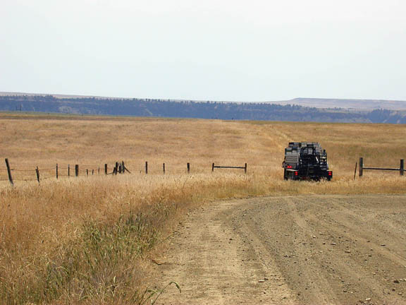
43-1057-246 |
43-1057-249 |
43-1057-251 |
43-1057-252 |
 |
 |
 |
 |
|||
43-1057-254 |
43-1057-256 |
43-1057-258 |
43-1057-259 |