Ecoregion 25 - Western High Plains, Sample 945
Imagery| August 18, 1972, MSS | |
| October 6, 1973, MSS | |
| July 11, 1981, MSS | |
| September 6, 1985, MSS | |
| March 31, 1991, TM | |
| September 9, 1992, TM | |
| May 2, 2000, ETM | |
| May 2, 2000, PAN | |
| October 9, 2000, ETM | |
| October 9, 2000, PAN |
Land Cover
| 1973 | |
| 1981 | |
| 1985 | |
| 1992, 30M | |
| 1992, 60M | |
| 1992, MRLC | |
| 2000, 30M | |
| 2000, 60M |
Change Images
| 1973 to 1981 | download |
| 1981 to 1985 | download |
| 1985 to 1992 | download |
| 1992 to 2000 | download |
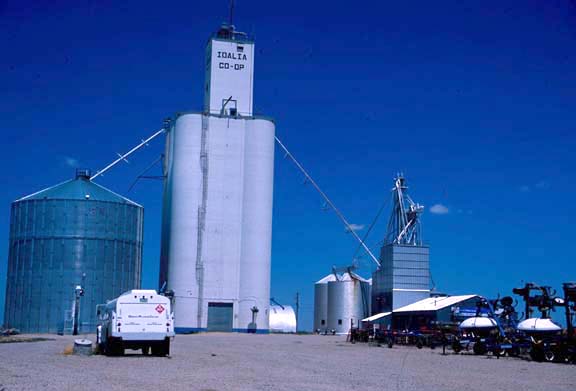
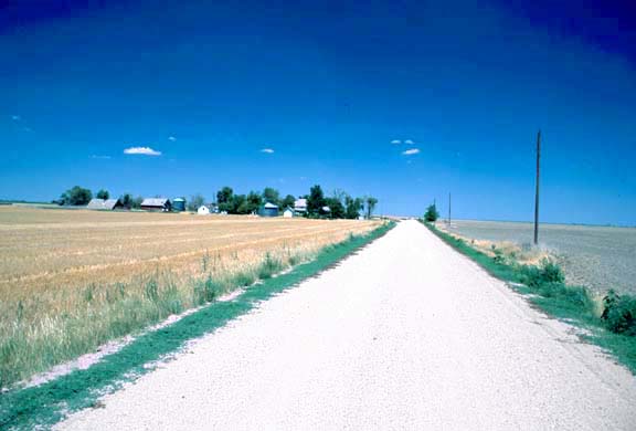
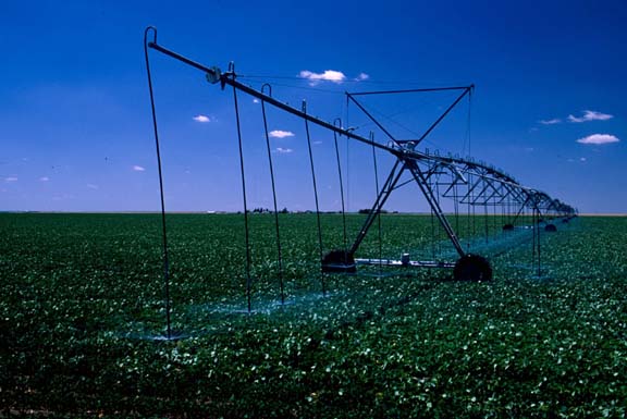
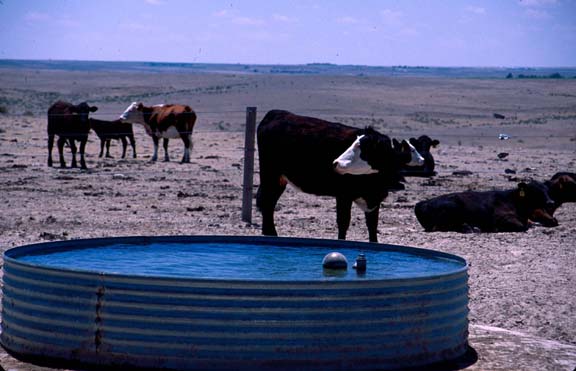
Photos
Click any thumbnail to view a larger image. Click this link to view a table of photo captions for this ecoregion.
 |
 |
 |
 |
 |
 |
 |
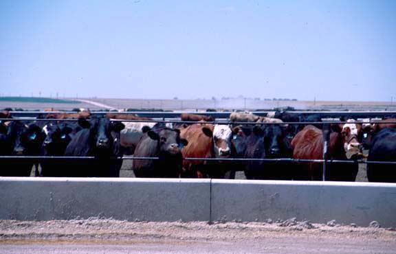
25-5-25 |
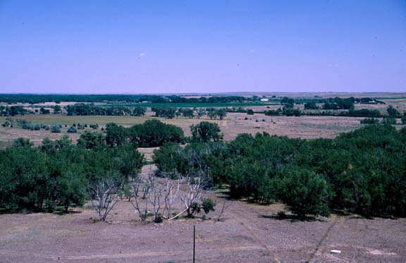
25-5-26 |
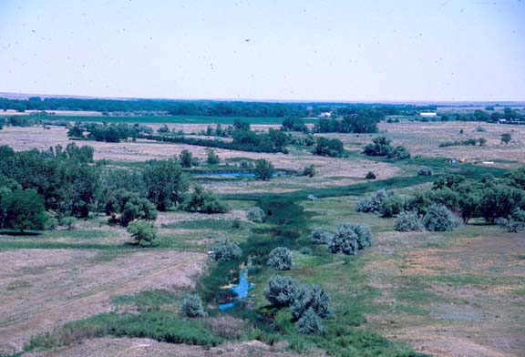
25-5-28 |
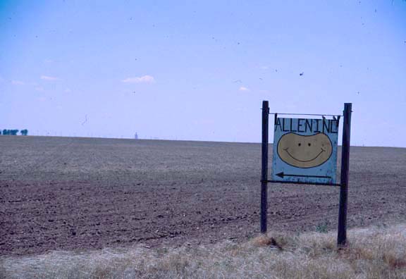
25-5-29 |
25-5-30 |
25-5-31 |
25-5-32 |
 |
 |
 |
 |
 |
 |
|
25-5-33 |
25-5-34 |
25-5-35 |
25-5-36 |
25-5-37 |
25-6-2 |