Ecoregion 25 - Western High Plains, Sample 1995
Imagery| September 22, 1972, MSS | |
| June 27, 1980, MSS | |
| August 27, 1984, MSS | |
| August 28, 1990, TM | |
| April 9, 1991, TM | |
| September 21, 1993, TM | |
| August 13, 1999, ETM | |
| August 13, 1999, PAN | |
| February 21, 2000, ETM | |
| February 21, 2000, PAN |
Land Cover
| 1972 | |
| 1980 | |
| 1984 | |
| 1992, MRLC | |
| 1993, 30M | |
| 1993, 60M | |
| 2000, 30M | |
| 2000, 60M |
Change Images
| 1972 to 1980 | download |
| 1980 to 1984 | download |
| 1984 to 1993 | download |
| 1993 to 2000 | download |
Photos
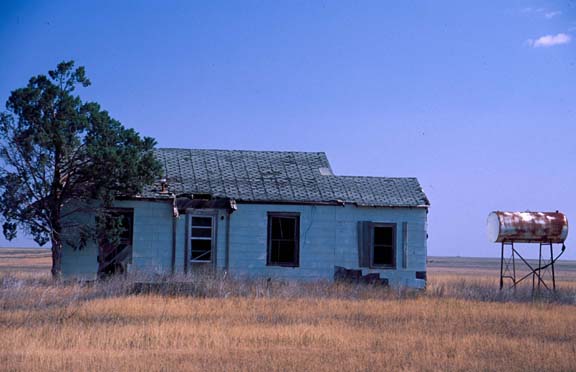
Click any thumbnail to view a larger image. Click this link to view a table of photo captions for this ecoregion.
 |
 |
 |
 |
 |
 |
 |
||
25-12-15 |
25-12-16 |
25-12-17 |
25-12-18 |
25-12-19 |
25-12-20 |
25-12-21 |
||
 |
 |
 |
 |
 |
 |
 |
||
25-12-22 |
25-12-23 |
25-12-24 |
25-12-25 |
25-12-26 |
25-12-27 |
25-12-28 |
||
 |
||||||||
25-12-29 |