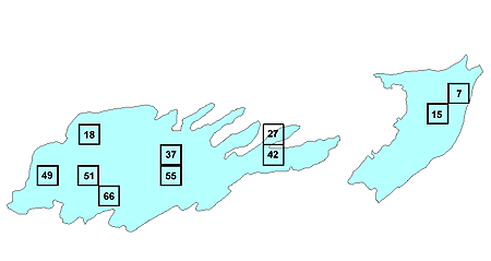
Ecoregion 62 - North Central Appalachians
Click the sample number or box to view the data page for that sample.
|
You will need Adobe Acrobat Reader, available
as a free download, to view some of the files on this page. See
EPA's PDF page to
learn more about PDF, and for a link to the free Acrobat Reader.
|
Data for Ecoregion 62:
- Excel spreadsheet summarizing land cover change for all samples and land cover types download
- Shapefile of ecoregion boundary download
- Shapefile of sample boundaries download
- Field Notes (Observations)
To download data for samples in Ecoregion 62 click on the sample ID number
or box in the map above.
Available data includes Landsat imagery and land cover classifications for
five dates, change images, and ancillary data such as photos of the region.