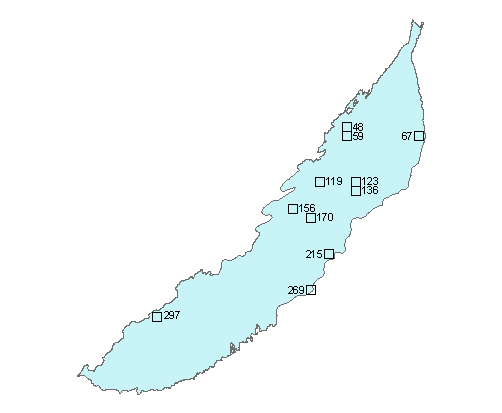
Ecoregion 45 - Piedmont
Click the sample number or box to view the data page for that sample.
You will need Adobe Acrobat Reader, available
as a free download, to view some of the files on this page. See
EPA's PDF page to
learn more about PDF, and for a link to the free Acrobat Reader. |
Data for ecoregion 45:
- Excel spreadsheet summarizing land cover change for all samples and land cover types download
- Shapefile of ecoregion boundary download
- Shapefile of sample boundaries download
- Field trip notes download
Available data includes Landsat imagery and land cover classifications for five dates, change images, and ancillary data such as photos of the region.