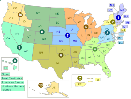
REMAP Regions

Image maps are used to simplify access and navigation throughout a WWW exhibit. To use the image map, position your cursor in the regional area you wish to select and "click" the left mouse button. This causes the image map to automatically select the correct EPA regional HTML document. Thus, if you select Alaska, the WWW server will correctly return the project information for EPA's Region 10 REMAP program.
![[logo] US EPA](../gif/logo_epaseal.gif)