Rhode Island Phase III GRTS Design (2005/2006) Narrative
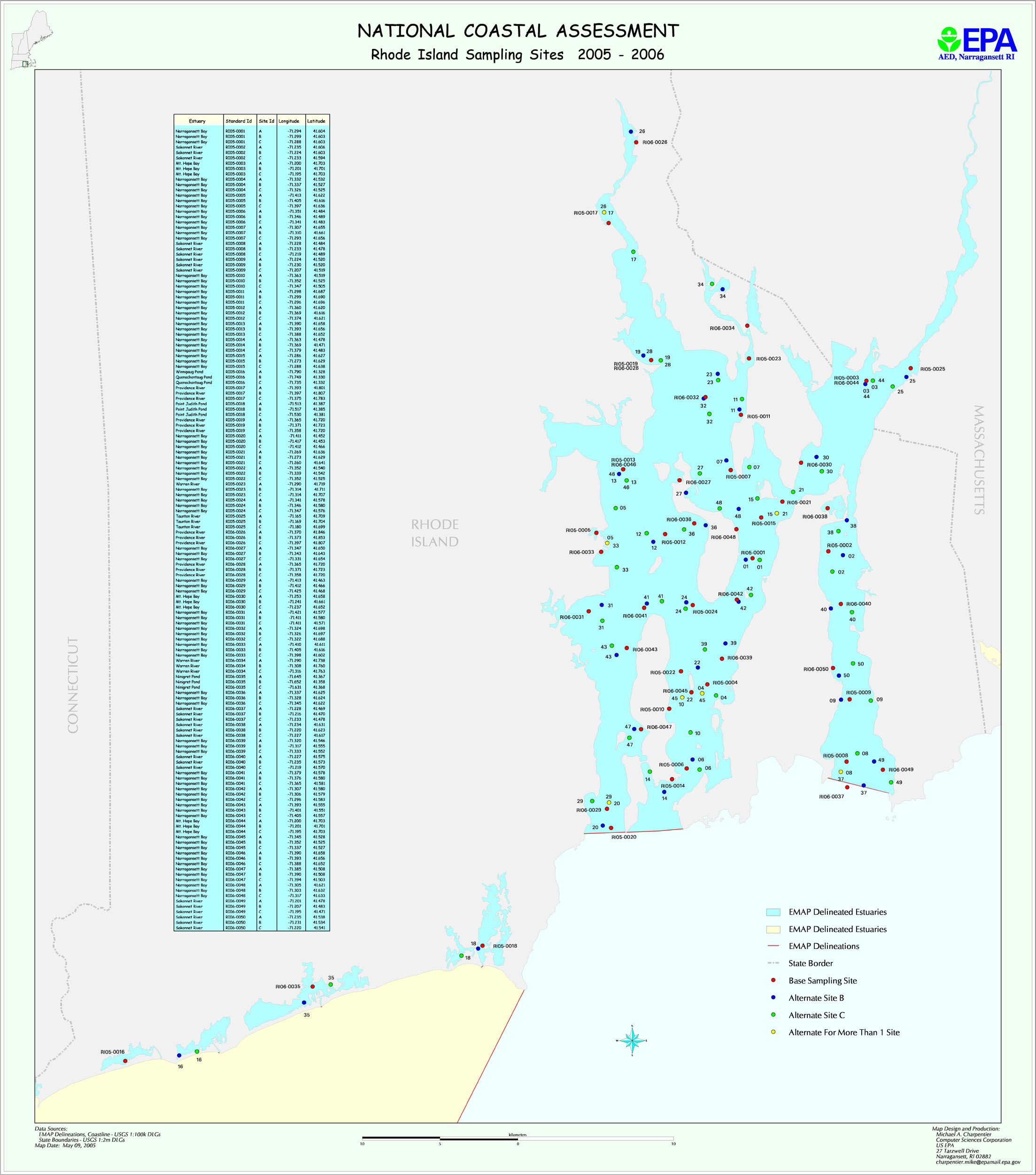
Rhode Island followed a stratified, two-year GRTS sampling design in years 2005 and 2006. Fifty station locations were selected at random in two strata representing shallow and deep water.
For statistical weighting, each Shallow Stratum station represents 1/27 of the total Shallow stratum area and each Deep Stratum station represents 1/23 of the total Deep stratum area
The map file ri2k5.jpg shows planned Rhode Island sampling locations for 2005 and 2006. The file RI_planned_GRTS_locations.xls provides planned latitude/longitudes. The files RI_2006_areas.csv provides information on station areas.