Maine Phase III GRTS Design (2005/2006) Narrative
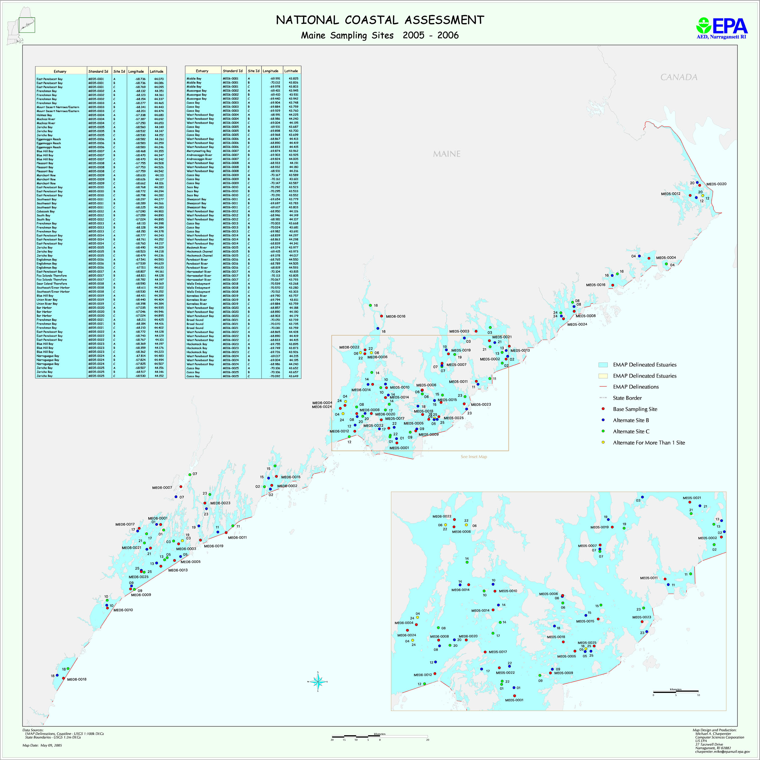
Maine adopted a GRTS design in 2005. Due to its many miles of coastline, the state was divided into two regions for sampling. The northern half of the coast was sampled in 2005, and the southern half in 2006. Within each region, station locations were selected at random using the GRTS methodology.
The two regions can be thought of as two strata. There are 25 stations in each stratum. For statistical weighting, each station represents 1/25 of the total stratum area. Because stratum areas are different, the station areas are different for the two years. Stations sampled in 2005 (in the north) represent 65.594 sq. km. Stations sampled in 2006 (in the south) represent 64.9286 sq. km
The map file me2k5.jpg shows planned sampling locations in both strata. The file Maine_GRTS_locations.xls provides planned latitude/longitudes for each station. The files ME_2005_areas.txt and ME_2006_areas.txt provide information on station areas.