Area Designations for 1997 Ground-level Ozone Standards
Bureau of Indian Affairs Map
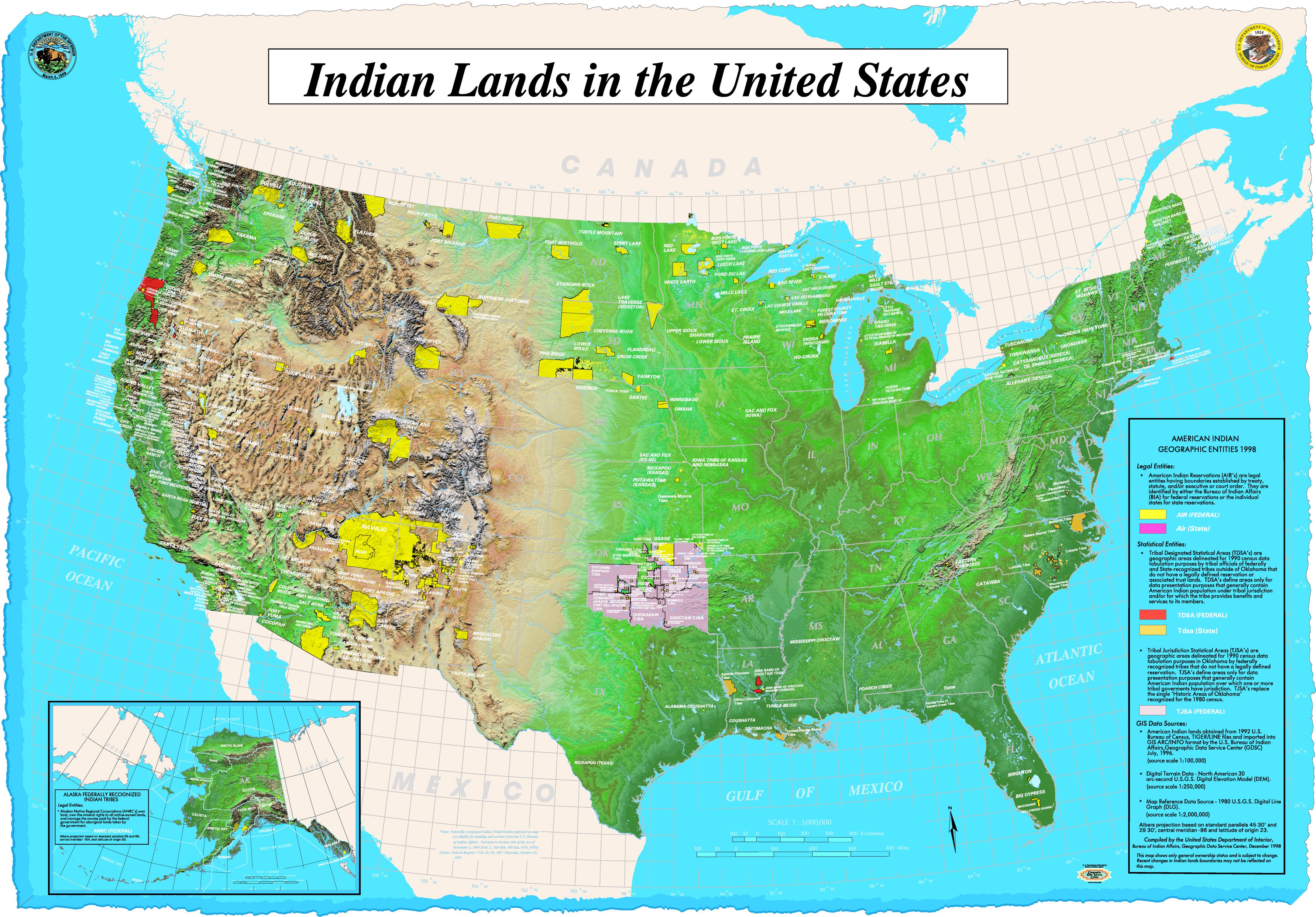
The Bureau of Indian Affairs Geographic Data Service Center produced this map, "Indian Lands and Native Entities in the United States", in 1998. This map is also available for download from this web site as a 4331x3019 pixel JPEG image.