 Little
Miami River Basin Little
Miami River Basin
Boundaries
Buffer
Counties
ZIP
Codes
Census
Tract
Census
Blocks
Roads
RF3
Streams
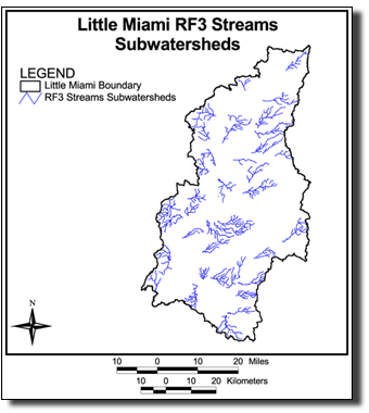
 RF3 Streams/Subwatersheds
HUCs
- 11 digit
HUCs
- 14 digit
Subwatersheds
DEM
Defined Subwatersheds
DEM
30 Meter
Land
Cover
Land
Cover 1975
Land
Cover 1986
Land
Cover 1991
RUSLE
A Value
RUSLE
C Factor
RUSLE
K Factor
RUSLE
LS Factor
RUSLE
P Factor
RUSLE
R Factor
All Downloads & File Info
|


|