Ecoregion 43 - Northwestern Great Plains, Sample 411
Imagery| July 12, 1973, MSS | |
| August 16, 1973, TM | |
| September 7, 1981, MSS | |
| August 29, 1986, MSS | |
| June 10, 1992, TM | |
| August 13, 1992, MSS | |
| August 25, 1999, ETM |
Land Cover
| 1973 | |
| 1981 | |
| 1986 | |
| 1992, 30M | |
| 1992, 60M | |
| 1992, MRLC | |
| 1999, 30M | |
| 1999, 60M |
Change Images
| 1973 to 1981 | |
| 1981 to 1986 | |
| 1986 to 1992 | |
| 1992 to 1999 | |
| All Change |
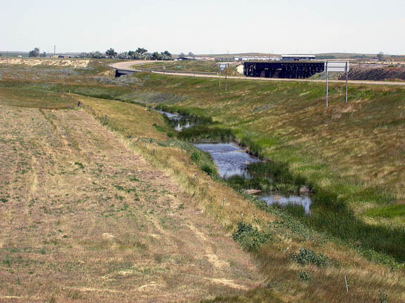
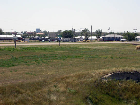
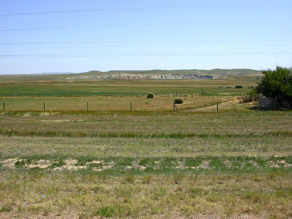
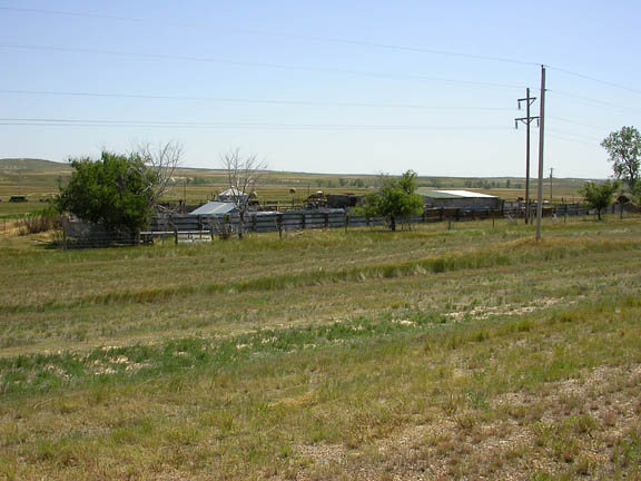
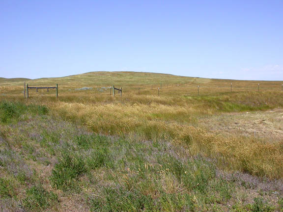
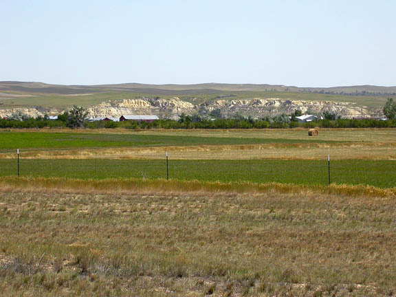
Photos
Click any thumbnail to view a larger image. Click this link to view a table of photo captions for this ecoregion.
 |
 |
 |
 |
 |
 |
 |
43-411-156 |
43-411-157 |
43-411-158 |
43-411-167 |
43-411-168 |
43-411-170 |
43-411-172 |