Ecoregion 25 - Western High Plains, Sample 2691
Imagery| October 9, 1972, MSS | |
| August 1, 1980, MSS | |
| October 13, 1986, MSS | |
| August 10, 1992, TM | |
| July 28, 1993, TM | |
| May 23, 2001, ETM | |
| May 23, 2001, PAN | |
| October 14, 2001, ETM | |
| October 14, 2001, PAN | |
| April 8, 2002, ETM | |
| April 8, 2002, PAN |
Land Cover
| 1972 | |
| 1980 | |
| 1986 | |
| 1992, 30M | |
| 1992, 60M | |
| 1992, MRLC | |
| 2001, 30M | |
| 2001, 60M |
Change Images
| 1972 to 1980 | download |
| 1980 to 1986 | download |
| 1986 to 1992 | download |
| 1992 to 2001 | download |
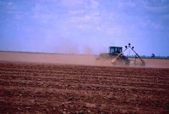
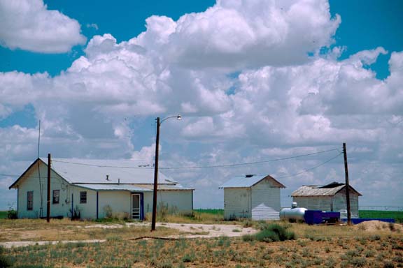
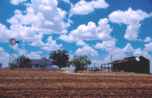
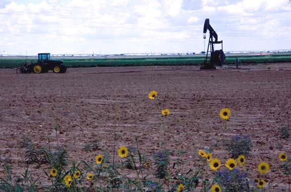
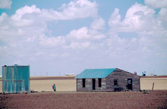
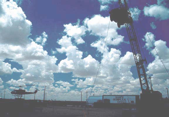
Photos
Click any thumbnail to view a larger image. Click this link to view a table of photo captions for this ecoregion.
 |
 |
 |
 |
|
 |
 |
||
25-11-14 |
25-11-15 |
25-11-16 |
25-11-17 |
25-11-18 |
25-11-19 |
25-11-20 |
||
 |
 |
 |
 |
 |
 |
 |
||
25-11-22 |
25-11-23 |
25-11-25 |
25-11-26 |
25-11-27 |
25-11-28 |
25-11-29 |
||
 |
 |
 |
 |
 |
 |
 |
||
25-11-30 |
25-11-32 |
25-11-33 |
25-11-34 |
25-11-35 |
25-11-36 |
25-11-37 |