Ecoregion 25 - Western High Plains, Sample 195
Imagery| August 19, 1972, MSS | |
| August 15, 1973, MSS | |
| June 12, 1980, MSS | |
| August 4, 1980, MSS | |
| August 15, 1986, MSS | |
| May 11, 1992, TM | |
| August 15, 1992, TM | |
| July 28, 2000, ETM | |
| July 28, 2000, PAN | |
| October 16, 2000, ETM | |
| October 16, 2000, PAN | |
| April 13, 2002, ETM | |
| April 13, 2002, PAN |
Land Cover
| 1973 | |
| 1980 | |
| 1986 | |
| 1992, 30M | |
| 1992, 60M | |
| 1992, MRLC | |
| 2000, 30M | |
| 2000, 60M |
Change Images
| 1973 to 1980 | download |
| 1980 to 1986 | download |
| 1986 to 1992 | download |
| 1992 to 2000 | download |
Photos
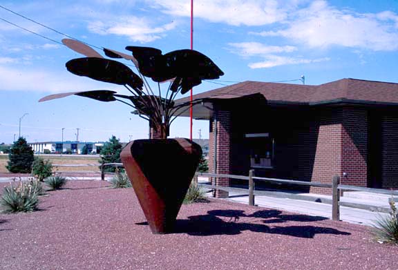
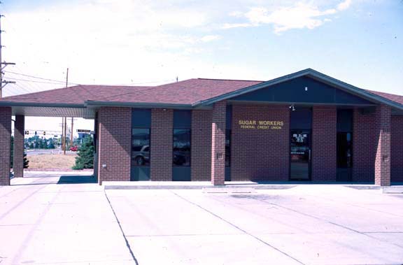
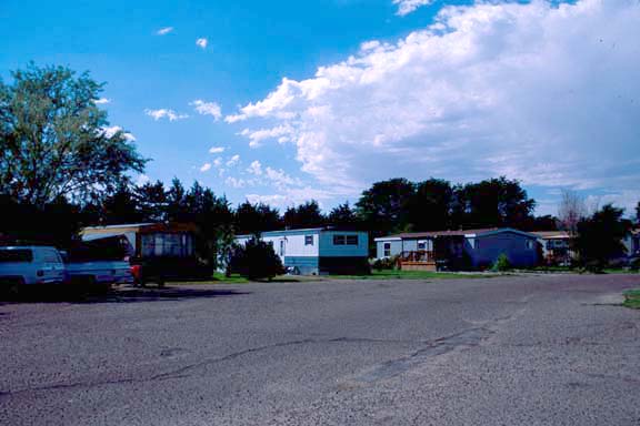
Click any thumbnail to view a larger image. Click this link to view a table of photo captions for this ecoregion.
 |
 |
 |
 |
 |
 |
 |
||
25-3-30 |
25-3-31 |
25-3-32 |
25-3-33 |
25-3-34 |
25-3-35 |
25-3-36 |
||
 |
 |
 |
 |
 |
 |
 |
||
25-3-37 |
25-4-01 |
25-4-02 |
25-4-03 |
25-4-04 |
25-4-05 |
25-4-06 |
||
 |
 |
 |
 |
 |
 |
 |
||
25-4-07 |
25-4-08 |
25-4-09 |
25-4-10 |
25-4-11 |
25-4-12 |
25-4-13 |
||
 |
 |
 |
 |
|||||
25-4-14 |
25-4-15 |
25-4-16 |
25-4-17 |