Wetlands Information
 EMAP used the U.S. Fish and Wildlife Service's National Wetlands Inventory definition of wetlands: Wetlands are lands transitional between terrestrial and aquatic systems where the water table is usually at or near the surface or where shallow water covers the land and where at least one of the following attributes holds: 1) the land predominantly supports aquatic plants at least periodically; 2) undrained hydric soils are the predominant substrate; and 3) at some time during the growing season, the substrate is saturated with water or covered by shallow water. Wetlands are characterized and distinguished by soil, hydrology, salinity, vegetation, and other factors. The variety of common names for wetlands--marshes, swamps, potholes, bogs, fens, and pocosins--attest to the diversity of wetland types. In wetlands, water saturation is the dominant factor determining the nature of the soil and the types of plant and animal communities living in the soil and on its surface.
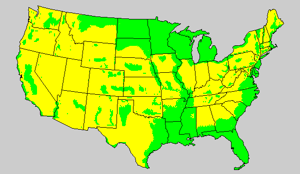
The target population for wetland sampling included all vegetated emergent wetlands in the United States greater than one-half hectare (a little larger than 1 acre) (Figure Above). The EMAP grid had to be adequate to determine regional and national wetlands condition, define trends, and estimate the extent of common wetland resources. Regional estimates of the rare wetland resources, however, did require a sampling frame with finer resolution. These sampling units were derived by increasing (augmenting) the EMAP grid density or by listing all the rare wetlands in a region and sampling from this list frame.
EMAP's Wetlands Group cooperated with the Fish and Wildlife Service National Wetlands Inventory to design and implement this EMAP component.